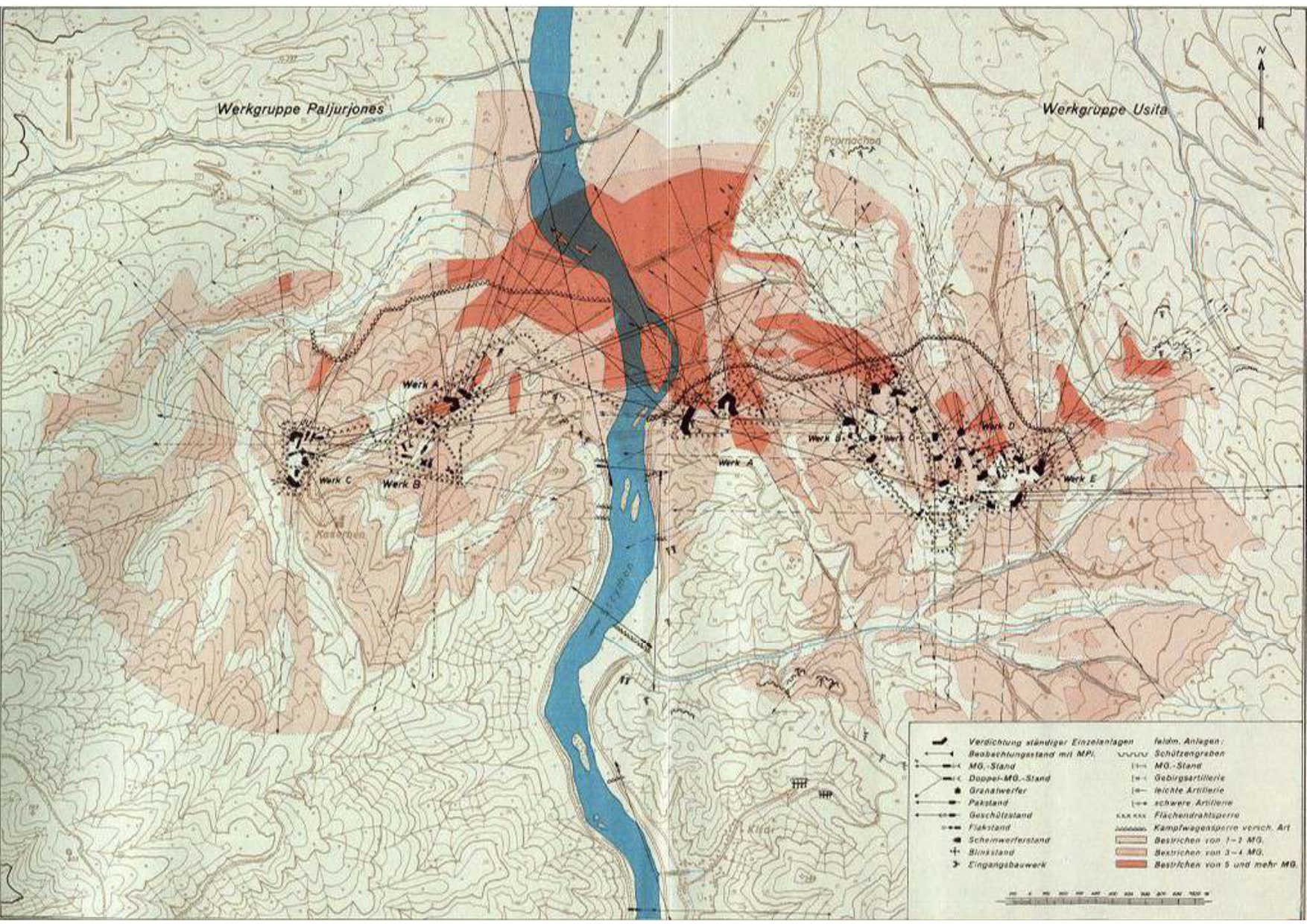
German map showing the firing range of the guns of Forts Paliouriones and Ousita of the Metaxas Line
Map
ΜοιράσουΤίτλος
German map showing the firing range of the guns of Forts Paliouriones and Ousita of the Metaxas Line
Συνεισφέρων/Συντελεστής
Μορφότυπος
JPG
Άδεια Χρήσης
https://creativecommons.org/licenses/by-nc/4.0/deed.el
Γεωγραφική Κάλυψη
Map
Χρονική κάλυψη
World War II
Ημερομηνία Ψηφιοποίησης
Unknown
Θέμα
Map
Κάτοχος Δικαιωμάτων
The Photography Museum ''Christos Kalemkeris'' of the Municipality of Kalamaria
